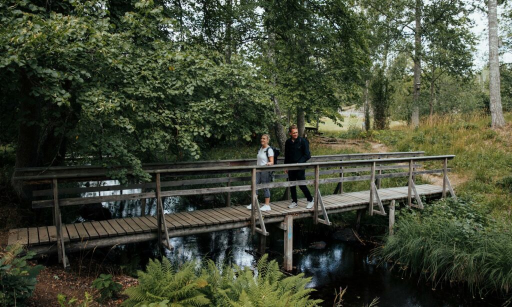
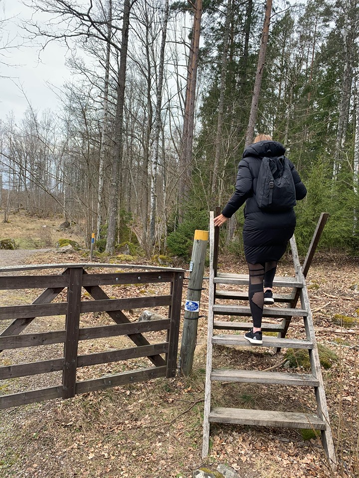
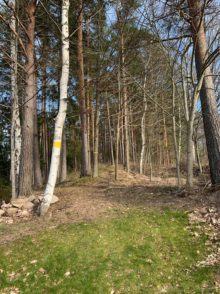
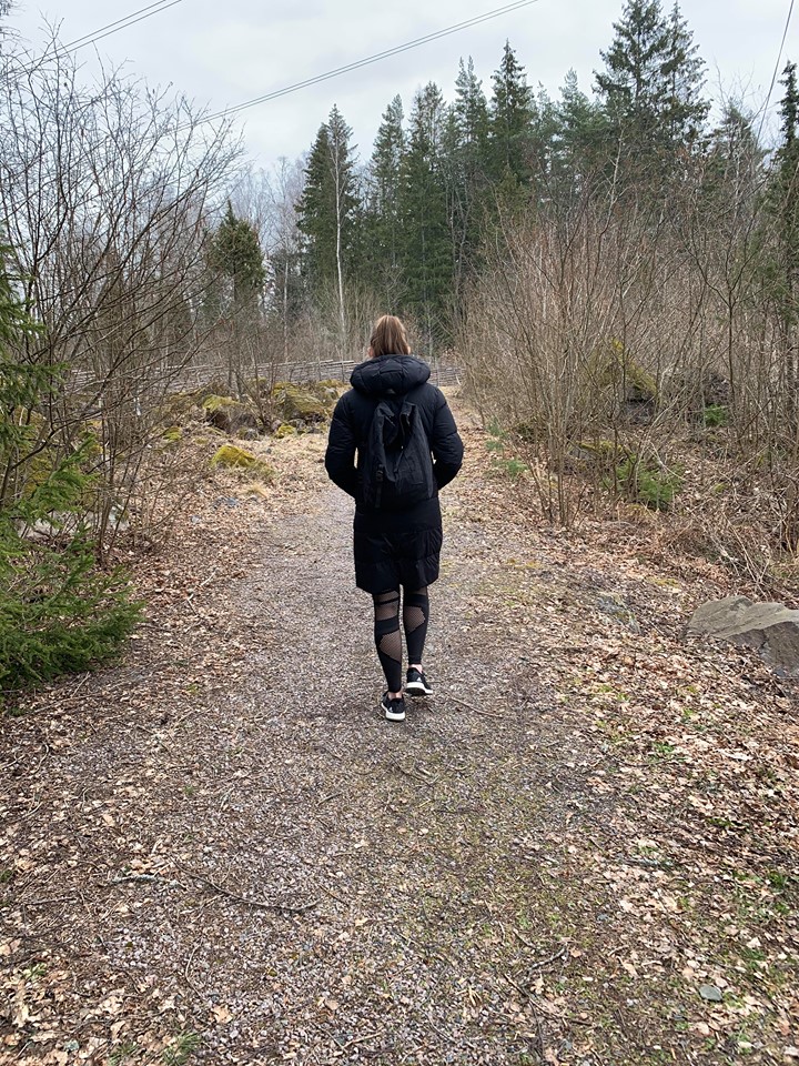
For 160 swedish kilometer, Ostkustleden – The East Coast Trail, winds its way through the Municipality of Oskarshamn, through the forests, beside the lakes and along the coastal strip! This beautiful trail is divided into 8 different stages of around 20 kilometers each. At the end of each stretch there is an overnight cabin where you can gather new strength.
Maps and broshure
You can print out maps for every stage of the trail. Find a link for downloading below every stage heading on this page.
There is also a digital map which you can find at: naturkartan.se or in the app called “Naturkartan”. Have in mind that the GPS – function both when you are using the webb, as well as when you are using the app, withdraws a lot of battery from your phone. Therefore, a good tip is to bring a powerbank with you when you are heading out on your adventure!
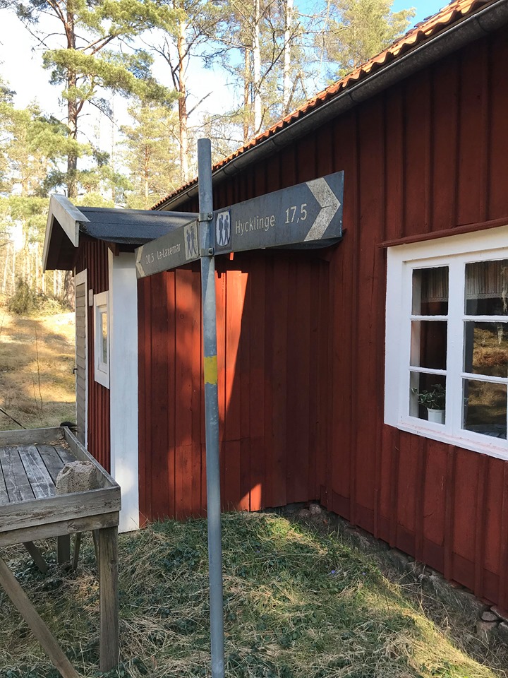
Trail 1: Lilla Hycklinge-Nynäs, approx. 17 Swedish kilometers
The first trail begins at Lilla Hycklinge, which is where people usually tends to set out from! There you will find parking facilities, an orientation board, and space to put up your tent. Lilla Hycklinge is considered to be Ostkustleden’s natural starting point. For bus connections you can contact Kalmar Läns Trafik: +46 (0)10 – 2121000.
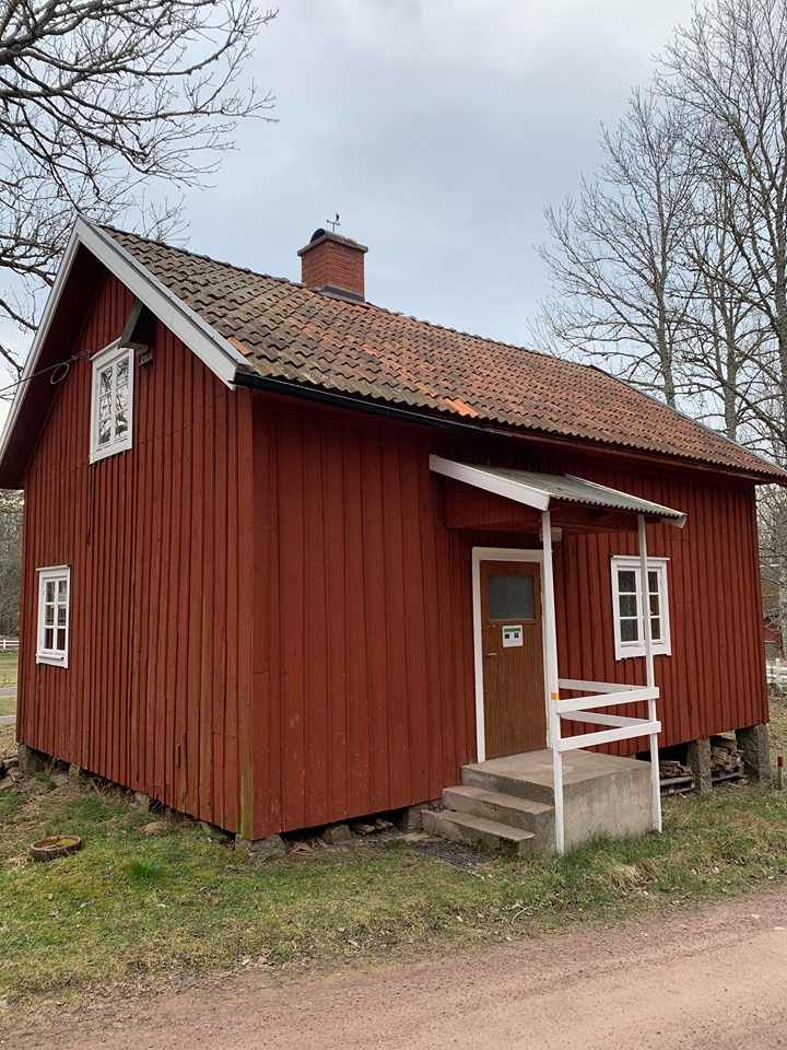
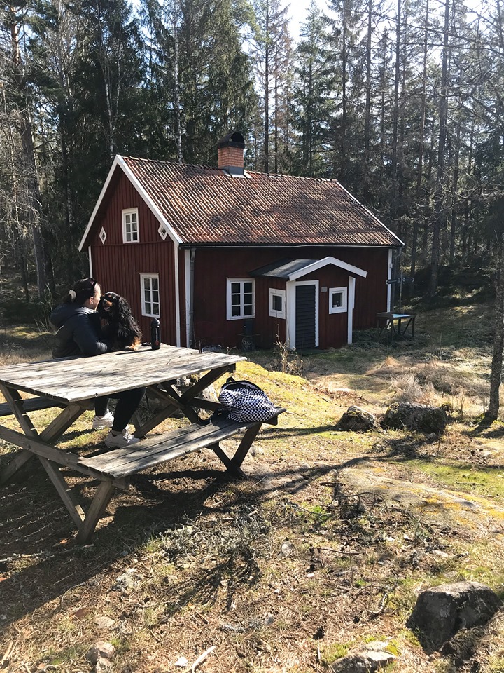
After 5 kilometers you will pass the village of Högatorp. This village is the actual birthplace of “Döderhultarn” Axel Petterson. 12 kilometers from the start you reach Lämmedal, one of the oldest villages in the Döderhult parish. The first overnight cabin is located in Nynäs near Lake Hummeln, which is located in the middle of the nature reserve called Humlenäs. The cabin contains of 15 beds and is furnished with a wood stove and simple kitchen equipment. There is an outdoor toilet and it is a good idea to bring a torch since the cabin lacks of electricity.
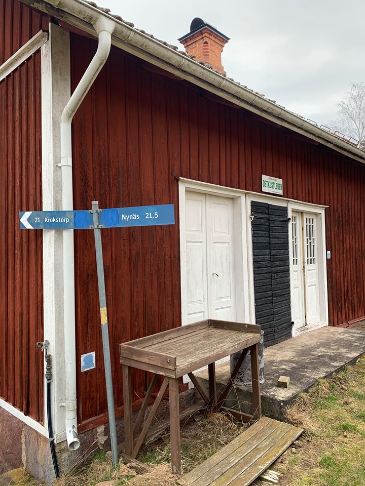
Trail 2: Nynäs – Lönhult, approx. 21.5 Swedish kilometers
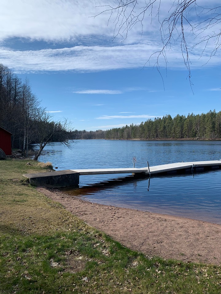
The first part of this trail goes through Humlenäs nature reserve and Kejnäste. Kejnäste is an old harbour pier located on Lake Hummeln. Hummeln is one of southern Sweden’s most remarkable lakes, with its 60 meter´s depth and fine quality water! About another 5 kilometers along the trail you come into the old agricultural landscape of Saxtorp. Further along, the track also passes Lake Bråhult and a nice bathing spot for you to enjoy. From the lake you will walk through some lovely paddocks belonging to the Gumsebo property.
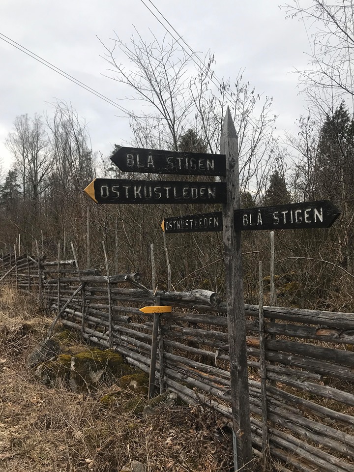
Approx. 13 kilometers from Nynäs there is a long stone wall that hikers have nicknamed “Småland’s Great Wall of China”. After 16 kilometers you will pass Lönnhult Mill with its beautiful waterfall. And a little way from there, just before and north of the road to Krokshult, Ostkustleden joins up with Krokshultsleden which begins and ends at Krokshult. Watch out so that you don’t take the wrong turn here! The trail ends at Lönnhultsstugan by Lake Övre Nejern and this is the western-most point of the trail. The cabin has 10 beds, a wood stove, simple kitchen equipment and an outdoor toilet.
Trail 3: Lönnhult – Krokstorp, approx. 21 Swedish kilometers
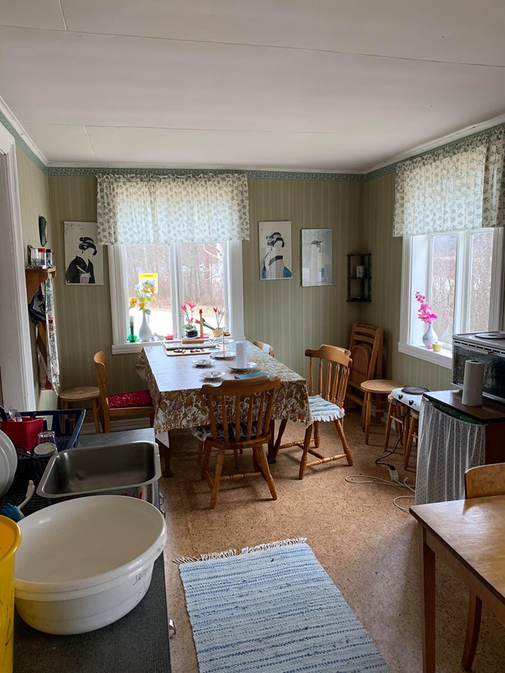
The trail follows the country road between Kristdala and Hultsfred for a while, then turns and crosses a bridge over the runoff into Lake Nejern. When you have walked arround 2 kilometers, you will come to the 16th Century village of Skinshult. And then when you arrive at the 7 kilometer mark you will be able to enjoy beautiful rural landscape around Lake Sjöändemåla! Furthermore, after 11 kilometers you will pass the large beautiful Lake Tvingen where you can take a nice dip. After another 15 kilometers from Lönnhult you will find the remains of Karlsfors old mill, where in days gone by there was a saw mill, a rag paper mill and a bone crusher. When you have walked arround 17 kilometer, you reach Lake Storyttern – which means another opportunity for a swim! By the eastern end of the lake there are a number of old house foundations from the old handcraft village of Ytterryd, which was flourishing from the 17th Century to the beginning of the 20th Century. The last cottage was torn down in 1930. This was the habitat of farmers, paper makers, shoemakers, violin makers, copper smiths, book-binders, sheet-metal workers and a captain. The end station of this leg is the JUF-cottage, beautifully situated on the eastern shore of Krokstorpssjön. The cottage is fitted out with electricity, a hotplate, wood stove, simple kitchen equipment and a number of mattresses. Water is available from a well in the garden. The cottage is locked, but the key is kept in a box by the big house up the hill.
Trail 4: Krokstorp – Mörtfors, approx. 17.5 Swedish kilometers
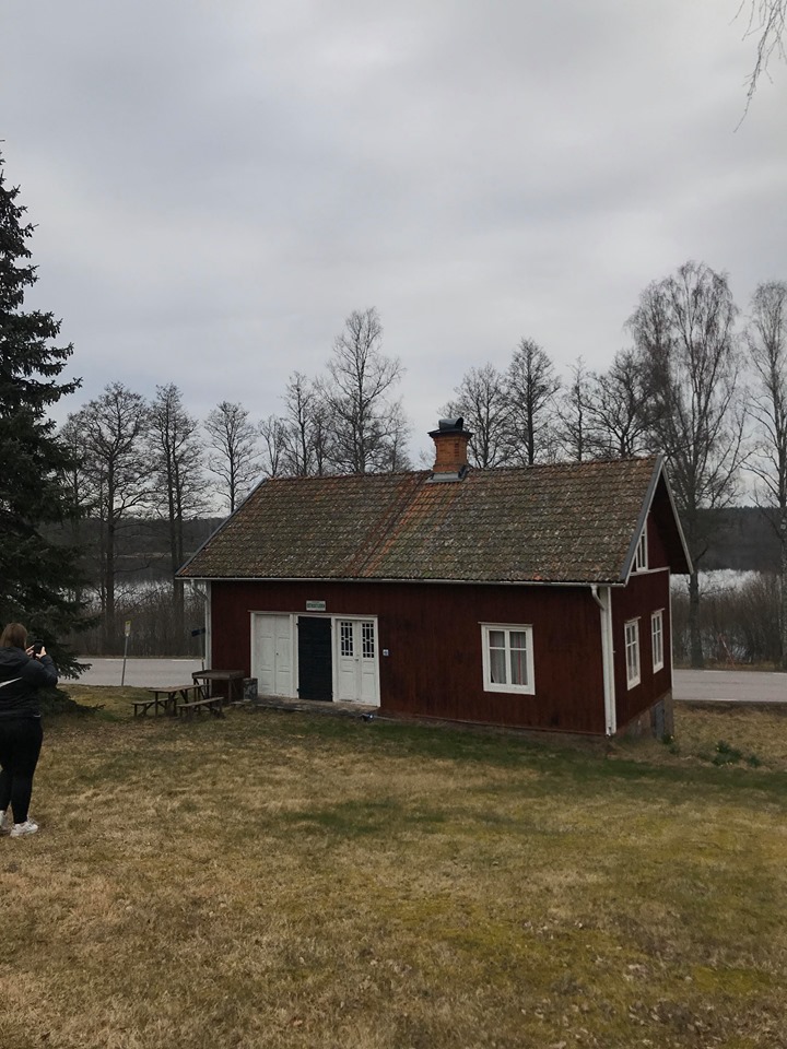
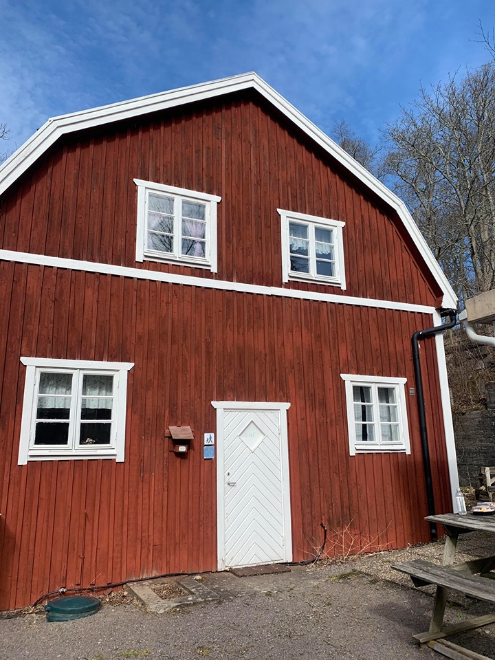
When you have walked arround 3 kilometers you will pass the dam at the Skälhult Mill and 4 kilometers on from there the village of Ölvedal. Then, for several kilometres the trail follows Marströmmen. Marströmmen offers good water for sport fishing, but have in mind that you need a fishing card. After about 16 kilometers the trail follows a high mountain ridge with steep drops on each side. Here, you have a lovely view over a lake called Lilla Ramm and the village of Ramnebo. The end of this trail is Mörtfors village, here you can rest your legs and stay overnight in the old two storey bath house. The ground floor contains a kitchen with wood stove, dining room, living room, overnight room and a washroom. The top floor has five bedrooms with 10 – 15 places to sleep. You will find an outdoor toilet at the back of the house, and the key to the house is in a box to the left of the door.
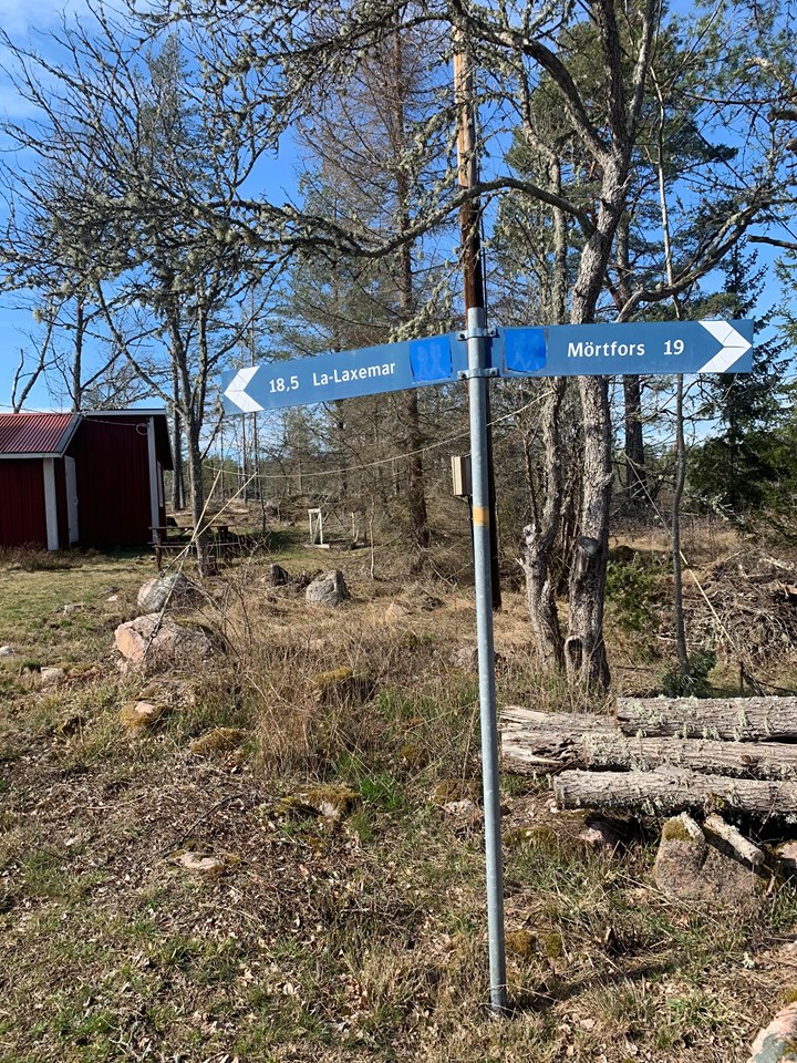
Trail 5: Mörtfors – Stjärneberg, approx. 18.5 Swedish kilometers
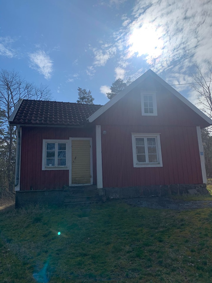
The trail here starts by following Marströmmen up to Highway E22. After arround 10 kilometers the trail reaches the Baltic Sea for the first time, at beautiful Hålviken Bay! Hålvik was once a stone shipping harbour and here you can see the remains of the old stone quay. This is a great place to take a dip on a hot summer day. This is the most northern point of the trail. For about 1 kilometer from Hålvik it follows the old railway bank to the stone quarry in Kallsebo. Here the big stone blocks testifies to an ice-age around 10,000 years ago. Approximately 15 kilometers further down the trail you wil find a large stone ship and stone tombs built directly on the mountain rock at Snäckedal. The burial ground has no less than 37 prehistoric finds. The end station of this leg is Stjärneberg and the cabin is fitted out with electricity, a hotplate, a kitchen stove and an open fireplace. Overnight stay in one room and in an extra house on the property, a total of 10 beds. Water is available 75 meters away. You will find an outdoor toilet in the garden.
Trail 6: Stjärneberg – Lilla Laxemar, approx. 18.5 Swedish kilometers
From Stjärneberg the trail initially follows a beautiful mountain ridge before it reaches the interesting Tjustgölen, a natural pool surrounded by rich flora and many types of birds. You can swim here too. After arround 5 kilometers you will reach the village of Bussvik. Bussvik was previously a large stone shipping harbour. At the beginning of the 1940s great quantities of cut stone were shipped from here to Germany, intended to be used for Hitlers victory monuments. After a further 5 kilometers you will reach Granholmsfjärden at the Bjurhid property. From here the trail does a loop around the inner part of the bay before passing through the little village of Kärrvik. Then, it turns into the forest before returning once again to the shore of the bay. Here you will find some water-honed cliffs and a good opportunity for bathing, with a glorious view across Granholmsfjärden. The end station is Little Laxemar, where the cabin sleeps 10 people and is equipped with electricity, a hotplate, wood stoves and simple kitchenware. There is water available from a tap in the garden. Don’t forget to flush out the pipe before drinking. Wood store and outdoor toilet on the property.
Trail 7: Lilla Laxemar – Hällveberg, approx. 21 Swedish kilometers
From Lilla Laxemar the trail goes through an old pastureland, passing one of the big power lines from Simpevarp, past the village of Ströms and then cross the coast road down towards Gammelnäs. In several places you can see the old stone tombs from the bronze-age – evidence of an ancient settlement in the region! The trail continues past Nynäs and Södra Uvö. On your way towards the Uthammar recreational area, you can see many traces from stone quarrying times. Soon after that you come to a bathing spot and a lovely lookout, before continuing along Figehomsfjärden, where you also pass the remains of an ancient fortress. Not far from that, you reach Figeholms Fritid & Konferens complex that offers rental cabins, camping, restaurant, golf course and a kiosk. Then the trail finds its way up the mountainside at Bredviken. At the foot of the mountain you have Bredviken’s bathing and camping grounds. If you want to shop in Figeholm you follow the road from Bredviksbadet to Figeholm. From Fårbo and from Figeholm, buses goes to and from Oskarshamn several times a day. The trail crosses the E22, and after a while you come to Fårbosjön with its lovely bathing spots. Once you have crossed the bridge over Virån, you have not that much far to go before you reach the overnight cabin with about 10 beds, wood stoves and simple kitchen equipment. The garden has a well. There is no electricity, so bring a torch.
Trail 8: Hedvigsberg – Lilla Hycklinge, approx. 18 Swedish kilometers
From Hedvigsberg the trail goes through the forest, once again towards Virån. A bridge takes you across the river and then you follow its shore in a southerly direction. After crossing three bridges, you reach the Stensjö cultural reserve which is owned by Vitterhetsakademin. The parking area has an interesting information board that tells the history of the village. There is also an outdoor toilet here. Now, the trail follows narrow tractor tracks and forest paths before it reaches the road to Skrikebo. At Björkelund a delightful pastureland spreads out before you and Lilla Nybo Göl (pool) offers a last bathing opportunity. The last part of this trail goes through the pine forest towards the village of Hycklinge and then towards the parking area at Lilla Hycklinge, where the circle is closed.
More information
For more information contact Döderhults Naturskyddsförening on +46 (0)491-19695 or +46 (0)491-17706.